
Modern navigation has become deeply dependent on satellite signals, yet those signals are not always available, trustworthy, or resilient. In contested battlefields, dense cities, underground facilities, polar regions, forests, and disaster zones, GPS can be jammed, spoofed, blocked, or degraded. As a result, GPS-denied navigation systems have become essential for military forces, emergency responders, autonomous vehicles, maritime operators, aviation teams, and industrial organizations that must keep moving even when satellite guidance fails.
TLDR: GPS-denied navigation systems allow vehicles, personnel, aircraft, ships, robots, and drones to navigate when satellite signals are blocked, jammed, or unavailable. Their most important military uses include autonomous drones, precision targeting, soldier positioning, submarine navigation, and resilient command operations. Civilian applications include emergency response, mining, aviation safety, autonomous transport, indoor robotics, and infrastructure inspection. These systems combine technologies such as inertial navigation, visual mapping, terrain matching, signals of opportunity, and artificial intelligence to provide reliable positioning in difficult environments.
What GPS-Denied Navigation Means
GPS-denied navigation refers to the ability to determine position, movement, direction, and timing without relying on Global Positioning System signals. In many cases, the term also includes navigation without other global navigation satellite systems, such as Galileo, GLONASS, or BeiDou.
These systems often combine several technologies rather than depending on a single method. Common components include inertial measurement units, accelerometers, gyroscopes, magnetometers, barometers, cameras, lidar, radar, sonar, terrain databases, celestial references, radio signals, and artificial intelligence. By fusing data from multiple sources, a platform can continue navigating even when one or more inputs become unreliable.
This capability is especially valuable because GPS signals are weak by the time they reach Earth. They can be blocked by concrete, mountains, tunnels, water, or dense foliage. They can also be deliberately jammed or spoofed by hostile actors, making resilient alternatives a strategic priority.
Key Technologies Behind GPS-Denied Navigation
- Inertial Navigation Systems: These systems use gyroscopes and accelerometers to estimate position based on motion from a known starting point. High-grade military systems can remain accurate for long periods, while smaller commercial systems benefit from correction by other sensors.
- Visual and Lidar-Based Navigation: Cameras and lidar sensors compare surroundings with stored maps or create real-time maps through simultaneous localization and mapping, commonly called SLAM.
- Terrain Referenced Navigation: Aircraft, missiles, and drones can compare radar or optical measurements of terrain with onboard elevation maps.
- Signals of Opportunity: Systems may use cellular towers, radio broadcasts, Wi-Fi, television signals, or other available transmissions to estimate location.
- Magnetic and Gravity Mapping: Variations in Earth’s magnetic or gravitational field can provide navigational references, particularly for submarines, aircraft, and underground operations.
- Celestial Navigation: Stars, the sun, and other celestial bodies remain useful for aircraft, ships, and spacecraft when electronic systems are compromised.
Military Applications of GPS-Denied Navigation
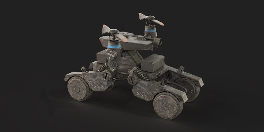
1. Unmanned Aerial Systems and Autonomous Drones
One of the most important military applications is the operation of drones in contested airspace. Adversaries frequently attempt to jam satellite navigation to disrupt reconnaissance, targeting, and strike missions. GPS-denied systems allow unmanned aerial vehicles to continue their missions using visual navigation, inertial systems, terrain matching, or onboard AI.
For small tactical drones, these systems can allow navigation through urban canyons, forests, and indoor spaces where GPS reception is poor. For larger drones, they increase survivability during long-range intelligence, surveillance, and reconnaissance missions. In future conflicts, swarms of autonomous drones may rely heavily on GPS-denied navigation to coordinate movement without constant external guidance.
2. Precision-Guided Munitions and Missile Systems
Modern precision weapons often use GPS to improve accuracy, but reliance on satellite signals can be risky against advanced electronic warfare defenses. GPS-denied navigation improves the resilience of missiles, glide bombs, loitering munitions, and artillery rounds.
These weapons may use inertial guidance, terrain contour matching, image recognition, radar seekers, or laser guidance to reach targets. A munition that can correct its course without GPS is harder to defeat through jamming. This makes GPS-denied capability central to precision strike operations in heavily defended environments.
3. Soldier Navigation and Dismounted Operations
Infantry units often operate in places where satellite reception is unreliable, including buildings, tunnels, caves, forests, and dense cities. Wearable GPS-denied navigation systems can help soldiers maintain awareness of their location and the positions of nearby teammates.
Such systems may combine foot-mounted inertial sensors, digital maps, radio ranging, barometric altitude, and visual references. Commanders can benefit from improved situational awareness, while soldiers can reduce the risk of disorientation during night operations, underground movement, or urban combat.
4. Armored Vehicle and Convoy Navigation
Military ground vehicles depend on accurate navigation for maneuver, logistics, and coordination. In a GPS-denied environment, armored units must still move through unfamiliar terrain, avoid hazards, and maintain formation. Navigation systems for tanks, infantry fighting vehicles, and logistics convoys can integrate inertial sensors, wheel odometry, terrain maps, vehicle cameras, and tactical radio networks.
This capability is particularly important when operating under electronic attack. A convoy that loses GPS may still need to reach a forward operating base, resupply route, or evacuation point. Resilient navigation reduces vulnerability and supports mission continuity.
5. Submarine and Underwater Navigation
GPS signals do not penetrate seawater effectively, so submarines and underwater vehicles have always required alternative navigation methods. Military submarines commonly use high-grade inertial navigation, sonar mapping, oceanographic data, and occasional external fixes when conditions allow.
Unmanned underwater vehicles also benefit from GPS-denied navigation for mine countermeasures, seabed mapping, surveillance, and harbor defense. These systems can use acoustic beacons, Doppler velocity logs, sonar SLAM, and magnetic field references to maintain accurate underwater positioning.

6. Electronic Warfare and Command Resilience
GPS-denied navigation is not only about movement. It also supports resilient command and control. Time synchronization, force tracking, targeting, and communications networks often rely on satellite timing. When GPS timing is disrupted, military networks may suffer degraded performance.
Alternative timing and navigation systems, including atomic clocks, terrestrial radio navigation, and network-based synchronization, help maintain operational effectiveness. In high-intensity conflict, forces that continue to navigate and coordinate under electronic attack gain a significant advantage.
Civilian Applications of GPS-Denied Navigation
1. Emergency Response and Disaster Recovery
Emergency responders frequently operate in damaged environments where GPS is unreliable. Earthquakes, fires, floods, collapsed buildings, and underground incidents can prevent satellite signals from reaching responders. GPS-denied navigation can help firefighters, paramedics, search teams, and rescue robots locate victims and coordinate movement.
Indoor positioning systems, wearable inertial sensors, radio beacons, thermal imaging, and lidar mapping can improve safety. Command centers can track responder positions inside large buildings or disaster zones, reducing confusion and speeding rescue efforts.
2. Mining, Tunneling, and Underground Industry
Underground mines, tunnels, and utility networks are natural GPS-denied environments. Navigation systems are needed for worker safety, equipment tracking, autonomous haulage, drilling, and inspection. In these settings, technologies such as lidar SLAM, inertial navigation, ultra-wideband radio, and digital mine maps are particularly valuable.
Autonomous mining vehicles can use GPS-denied navigation to move through tunnels, avoid obstacles, and follow planned routes. Operators gain better visibility into underground operations, while workers benefit from improved emergency location tracking.
3. Aviation Safety and Urban Air Mobility
Aircraft typically use multiple navigation systems, but GPS has become a major part of modern aviation. GPS-denied technologies improve resilience for commercial aviation, helicopters, cargo drones, and future air taxis. In urban environments, tall buildings can reflect or block satellite signals, creating navigation errors.
Alternative systems may include inertial navigation, visual positioning, radar altimeters, terrain databases, and ground-based navigation aids. For urban air mobility, reliable navigation without GPS will be essential for safe operations around buildings, landing pads, and crowded airspace.
4. Autonomous Cars, Trucks, and Delivery Robots
Self-driving vehicles cannot depend entirely on GPS. In cities, parking garages, tunnels, and industrial campuses, satellite signals may be weak or inaccurate. Autonomous cars and delivery robots therefore rely on cameras, lidar, radar, inertial sensors, high-definition maps, and onboard perception software.
GPS-denied navigation allows these systems to understand lane position, obstacles, intersections, loading docks, and pedestrian areas. For logistics companies, this can improve warehouse automation, port operations, last-mile delivery, and autonomous trucking reliability.

5. Maritime Shipping and Port Operations
Civilian ships depend heavily on satellite navigation, but maritime GPS interference has become a growing concern. Spoofing and jamming incidents can affect shipping lanes, offshore energy platforms, and ports. GPS-denied navigation can combine inertial systems, radar, visual bearings, electronic charts, sonar, and terrestrial radio signals.
In ports, autonomous cranes, cargo vehicles, inspection drones, and harbor vessels may require centimeter-level positioning. Alternative navigation helps maintain safe operations even when satellite signals are degraded by interference or blocked by large structures.
6. Infrastructure Inspection and Industrial Robotics
Robots and drones are increasingly used to inspect bridges, pipelines, power plants, warehouses, refineries, and rail networks. Many of these environments are indoors, metallic, enclosed, or structurally complex, making GPS unavailable. GPS-denied navigation enables machines to map facilities, identify defects, and return to precise inspection points.
Visual SLAM, lidar mapping, inertial sensing, and AI-based object recognition allow robots to move safely around equipment and personnel. This reduces the need for human workers to enter hazardous areas and improves the consistency of inspection data.
Why GPS-Denied Systems Are Becoming More Important
The importance of GPS-denied navigation is increasing because dependence on satellite navigation has grown faster than resilience. Military forces face sophisticated jamming and spoofing threats. Civilian industries face risks from accidental interference, cyber-physical attacks, natural obstructions, and operational environments where GPS was never available.
At the same time, autonomous platforms are becoming more common. Drones, robots, vehicles, vessels, and aircraft must make decisions in real time. If navigation fails, the mission may fail, safety may be threatened, and expensive equipment may be lost. Robust navigation therefore acts as a foundation for autonomy.
Challenges and Future Development
GPS-denied navigation is powerful, but it is not simple. Inertial systems can drift over time. Visual systems can struggle in smoke, darkness, fog, snow, or featureless environments. Magnetic navigation can be disrupted by metal structures. Radio-based methods may be unavailable or insecure. The best systems therefore use sensor fusion, where multiple imperfect inputs are combined to create a more reliable estimate.
Future development will likely focus on smaller sensors, better AI, improved maps, quantum inertial systems, resilient timing, and cooperative navigation between multiple platforms. Military and civilian users will also demand systems that are affordable, cybersecure, and easy to integrate into existing vehicles and networks.
Conclusion
GPS-denied navigation systems are no longer niche technologies reserved for submarines or strategic aircraft. They have become essential tools for modern warfare, emergency response, autonomous mobility, industrial automation, and infrastructure protection. Their greatest value lies in continuity: they allow people and machines to keep operating when satellite navigation becomes unavailable or untrustworthy.
As electronic warfare, urbanization, automation, and underground operations expand, the demand for resilient positioning will continue to grow. The strongest systems will not replace GPS entirely; instead, they will complement it with layered navigation methods that provide confidence in the most difficult environments.
FAQ
What is a GPS-denied navigation system?
A GPS-denied navigation system determines location, direction, and movement without relying on satellite GPS signals. It may use inertial sensors, cameras, lidar, radar, terrain maps, radio signals, sonar, or artificial intelligence.
Why is GPS-denied navigation important for the military?
It is important because GPS can be jammed, spoofed, or blocked by terrain and buildings. Military forces need reliable navigation for drones, soldiers, vehicles, missiles, submarines, and command networks during contested operations.
What civilian industries use GPS-denied navigation?
Major civilian users include emergency services, mining, aviation, autonomous vehicle companies, maritime operators, warehouse automation, infrastructure inspection, construction, and underground utilities.
Can GPS-denied systems be more accurate than GPS?
In some local environments, yes. Lidar, visual mapping, and ultra-wideband systems can provide very precise positioning indoors or around industrial sites. However, long-distance accuracy often depends on combining several technologies.
Do autonomous vehicles need GPS-denied navigation?
Yes. Autonomous vehicles must operate in tunnels, parking garages, dense cities, ports, warehouses, and other places where GPS may be unreliable. They use sensor fusion to maintain safe navigation.
Will GPS-denied navigation replace GPS?
It is unlikely to replace GPS completely. Instead, it will serve as a resilient backup and complementary layer, helping systems continue operating when satellite navigation is weak, blocked, or attacked.


